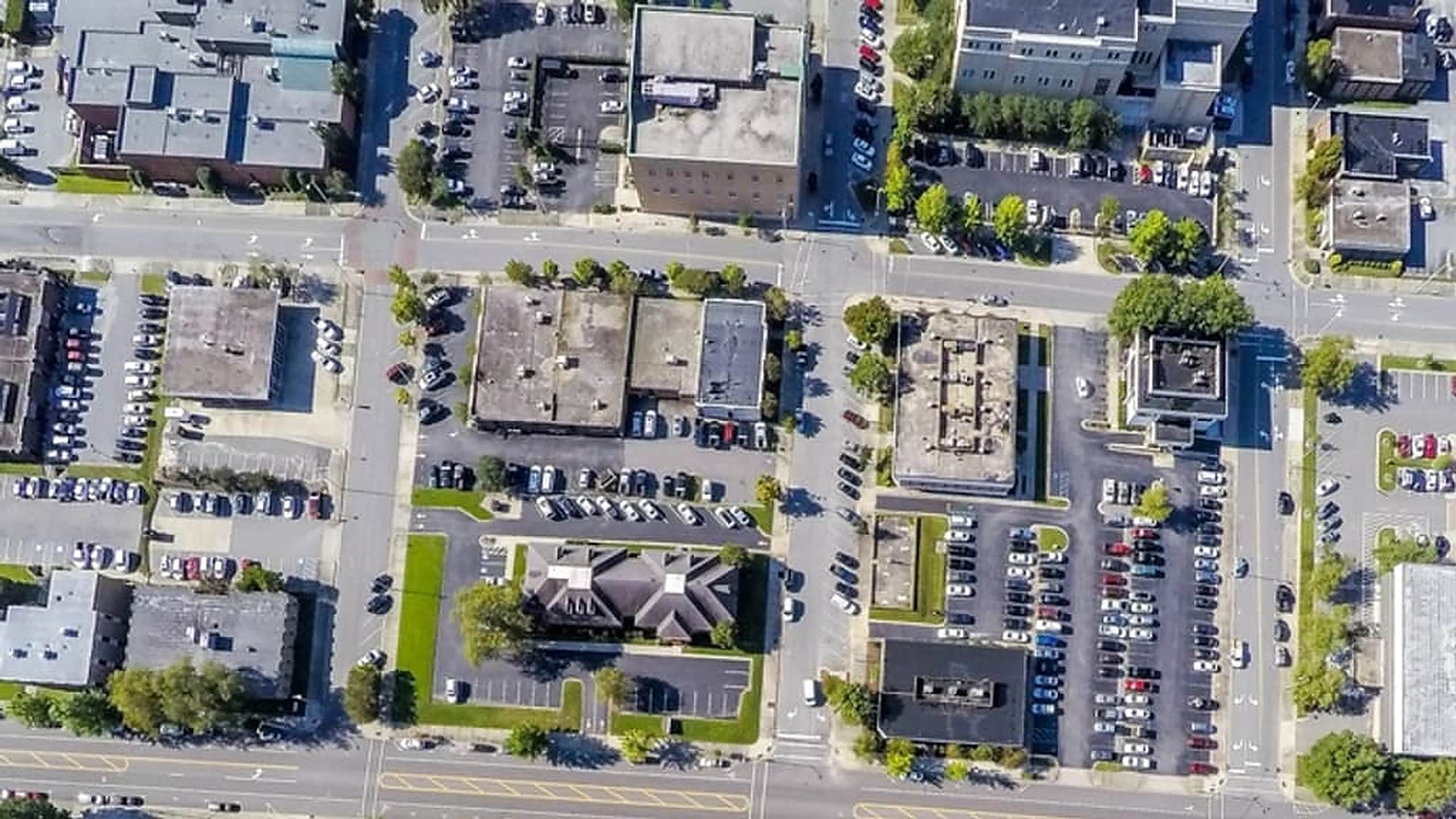
A service territory can contain thousands of commercial and residential properties. The purpose of ranking is not to declare that one property will become a customer. It is to reduce a broad geography into a smaller queue that your team can investigate consistently.
Define the target decision
Installation prospecting, maintenance research, repair outreach, and market expansion are different problems. They may use some of the same source data, but the importance and interpretation of each signal can change.
- Define the geography and the type of opportunity being investigated.
- State the exclusions and practical limits of the study.
- Choose an output size that your team can realistically review.
- Decide which findings require manual confirmation before inclusion.
Separate evidence types
A transparent workflow distinguishes what was directly observed from what was calculated or inferred. A parcel area from a public record, a roof obstruction visible in imagery, a derived estimate of usable area, and an analyst judgment about confidence are not the same kind of evidence.
Keeping those categories separate makes the final report easier to audit and update. It also reduces the risk that an inference is presented as a verified fact.
Use ranking as triage
A ranking model should organize the order of review. It can combine physical, market, ownership, and operational signals, but the weighting should remain connected to the original business question.
Review the top of the queue
The highest-ranked results deserve manual review before delivery. That review should look for stale records, imagery issues, duplicate properties, misleading building classifications, unusual ownership structures, and other factors automated processing may miss.
Deliver reasons, not just rows
A useful territory report explains why each property is present, what the supporting evidence suggests, and what your team should verify next. The ranking is valuable because it makes a large research problem smaller and more orderly, not because it removes uncertainty.